Grâce à des boîtiers d’acquisition d’images grand angle à haute résolution, Immergis intègre ces vues directement dans votre SIG via des plugins compatibles (QGIS, ARCGIS®, Elyx, Geomedia) ou votre solution de webmapping.
Intégration directe dans votre SIG des éléments de l’espace routier (réseaux, signalisation, mobilier, etc.) avec une géolocalisation précise (submétrique) et une qualification attributaire complète
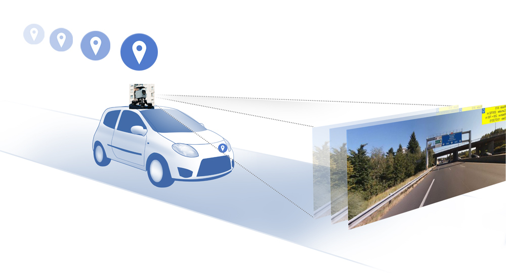
Géolocalisation des images en X, Y et Z, avec des vues panoramiques de la voirie selon un pas fixe dans les deux sens de circulation
Intégration dans le SIG, saisie collaborative 3D sur une plateforme Web, et gestion/mise à jour des données directement dans les vues
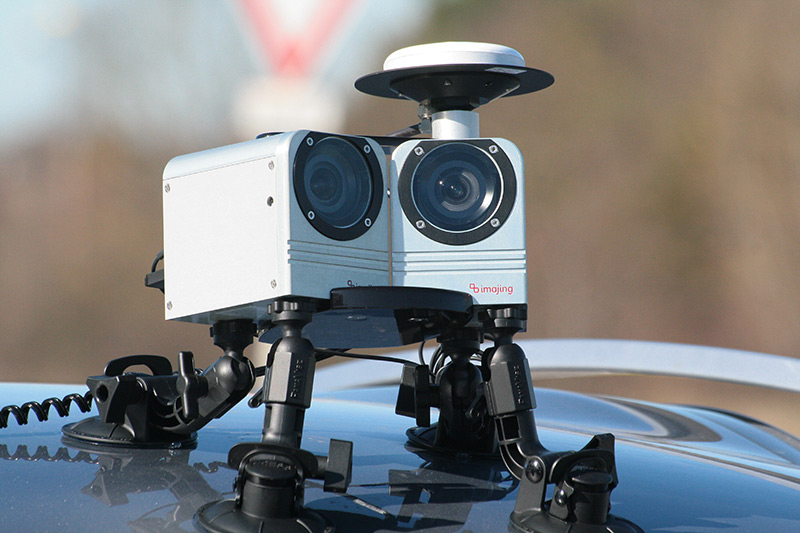
Relevé d’images géoréférencées basé sur la technologie Imajing®, avec une collecte spécifique adaptée à vos besoins : itinéraire, fréquence d’image, angle, résolution, etc.
Passez au SIG en environnement immersif et bénéficiez d’une visualisation réaliste de vos infrastructures pour une gestion optimisée.
Immergis vous livre des données prêtes à être exploitées depuis vos outils SIG (gamme Esri®, Qgis®, …) ou Web SIG (solutions éditeurs, et/ou open source).
Améliorer la connaissance du patrimoine
Acquérir des vues haute résolution sur l'ensemble du territoire
Naviguer sur l'ensemble du réseau, depuis votre bureau
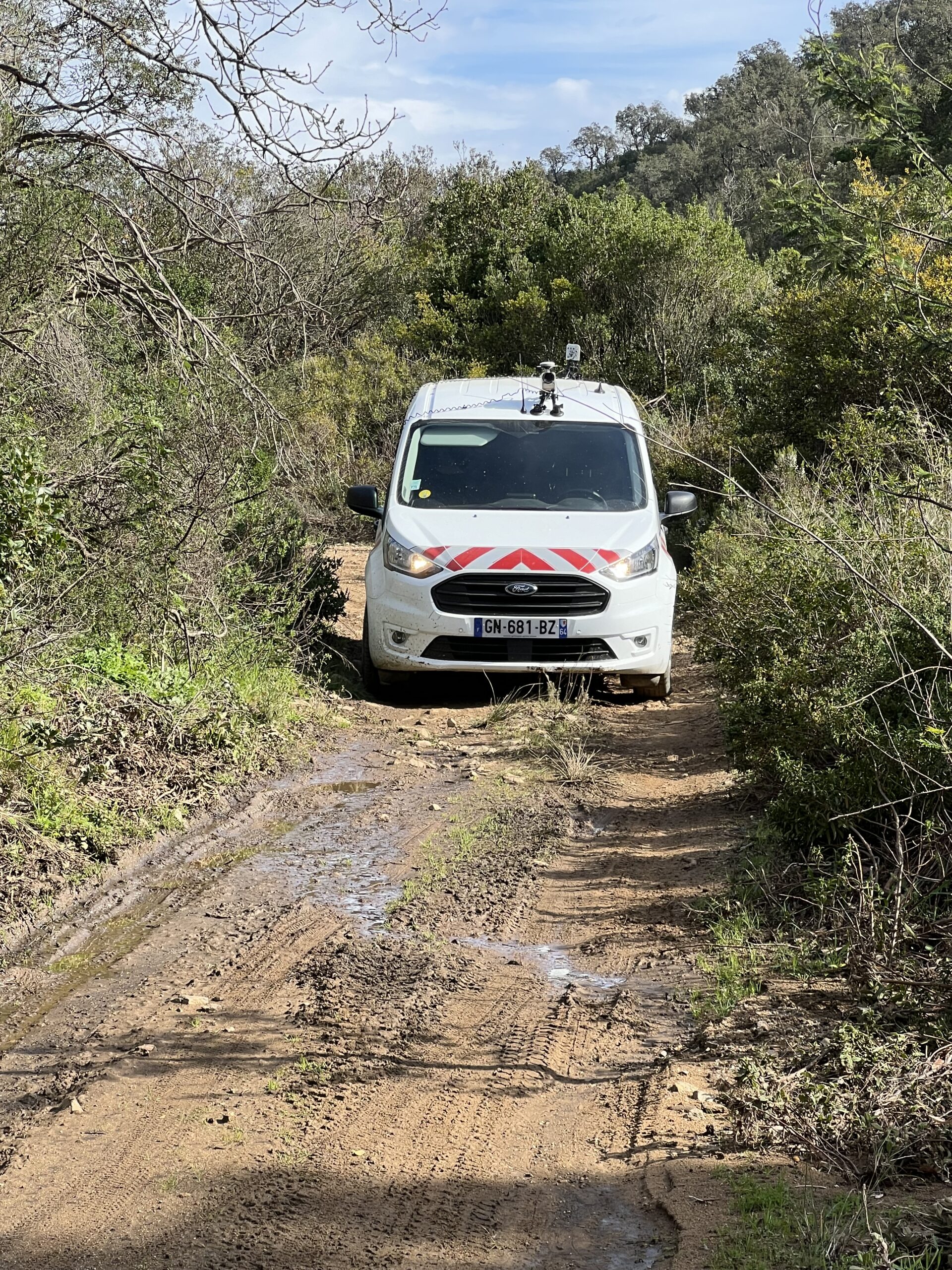
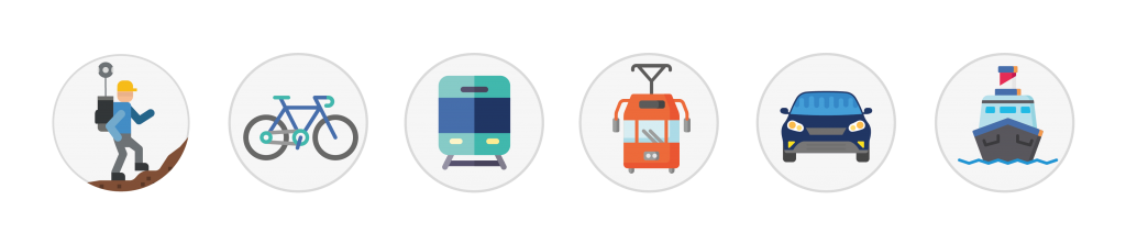
Grâce à l’expertise de notre équipe et à nos différentes technologies, nous collectons avec précision tout type d’infrastructure linéaire sur l’ensemble du territoire (route, rail, sentiers, pistes cyclables, voies navigables, etc.).