


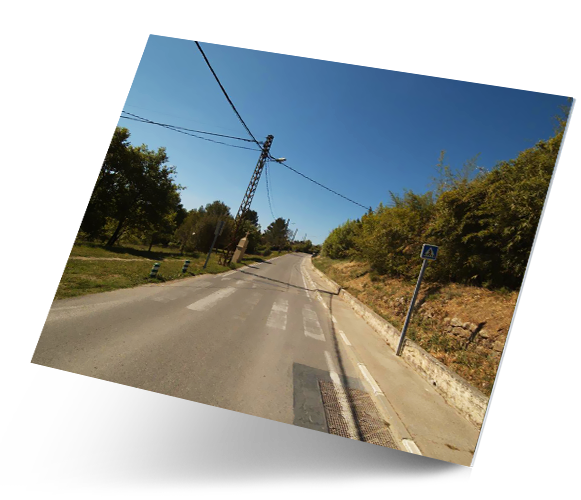


Data Collection
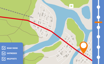
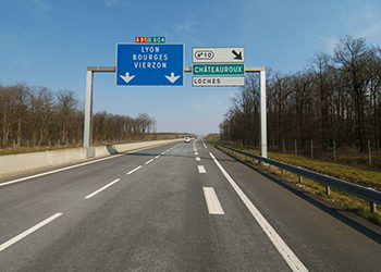
IMMERGIS offers large scale surveys on all kind of networks
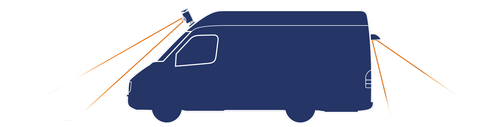
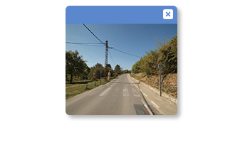
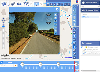
Mobile mapping system providing geo-localised 3D images, to measure and qualify assets in a field and immersive environment.
Assets inventory according to the organisation’s model, including milestones and LRS.
Mobile mapping services for railways.
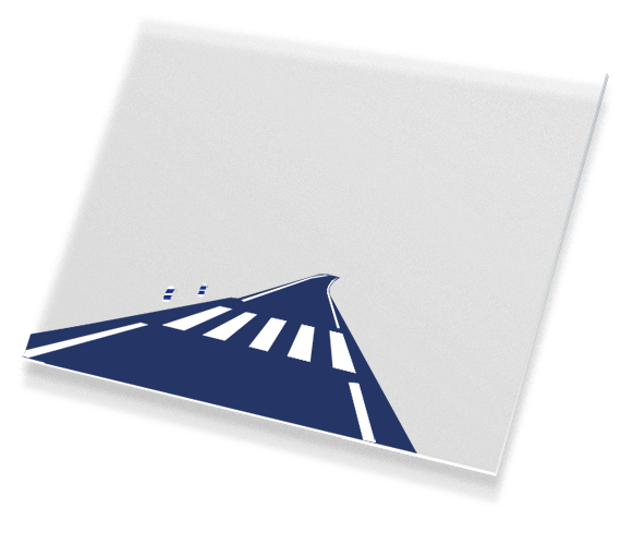
Analysis
IMMERGIS provides GIS data analysis services.
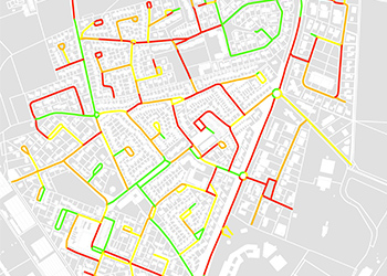
Inventory of all assets: pavement and shoulders, vertical and horizontal signs, etc. according to a methodology adapted to local requirements.
Qualification of all your assets, conformity analysis, reports and dashboards for road maintenance and road works.
Management
Immergis offers network’s assets management solutions.
Comprehensive road asset management tool, to monitor all road asset and equipments in a field environment.
Portable version of the web GIS platform for field operations.
Complementary modules developped for specific applications.
Data collection
IMMERGIS offers large scale surveys on all kind of networks
Mobile mapping system providing geo-localised 3D images, to measure and qualify assets in a field and immersive environment.
Assets inventory according to the organisation’s model, including milestones and LRS.
Mobile mapping system for railways.
Analysis
IMMERGIS provides GIS data analysis services.
Inventory of all assets: pavement and shoulders, vertical and horizontal signs, etc. according to a methodology adapted to local requirements.
Qualification of all your assets, conformity analysis, reports and dashboards for road maintenance and road works.
Management
Immergis offers network’s assets management solutions.
Comprehensive road asset management tool, to monitor all road asset and equipments in a field environment.
Portable version of the web GIS platform for field operations.
Complementary modules developped for specific applications.
Immergis
-
This year Immergis will be at the Transportation Research Board’s Annual meeting in Washington, D.C
Wednesday January 8th, 2020 -

Happy holidays and a wonderful 2020!
Friday December 6th, 2019 -
Come meet us at the International Road Federation’s R2T in Las Vegas!
Friday November 15th, 2019
They trust us