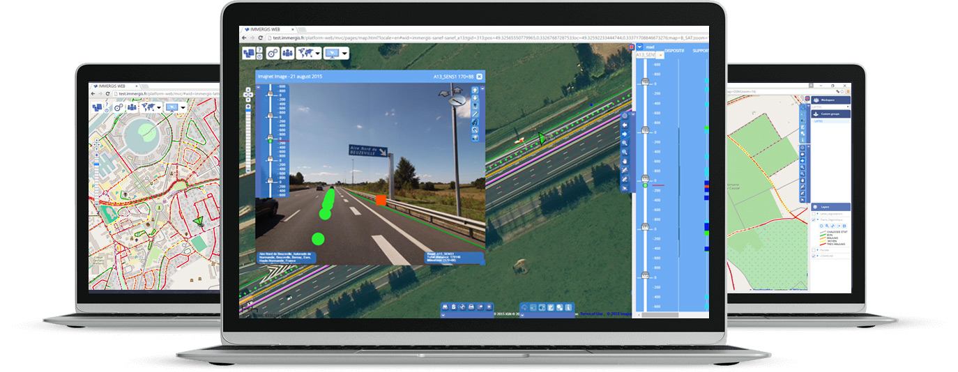
Immergis Web is a collaborative Web GIS platform to manage and monitor road assets and equipment in real field environment.
It is an all-integrated application allowing road network infrastructures managers to:
- Produce GIS data
- Manage and monitor GIS data processing
- Share road information
- Prioritise road projects.
Immergis Web includes an image module, allowing to measure assets directly in a 3D environment. Several workspacescan be defined for end-users according to territorial organisation, project status and the required information level.
The platform runs either in SaaS mode, either installed onsite.